Urbanites across the country sometimes struggle to experience a piece of nature within an hour of their abode that isn’t sculpted, planted or arranged by committee. We’re lucky that way here in Edmonton. Our record-breaking river valley — a natural corridor created by the kisiskâciwanisîpiy (the mighty North Saskatchewan) holding back the encroaching urban surroundings — is so expansive it’s almost overwhelming.
It delivers countless natural experiences within city limits, but the river valley is only the beginning. The arteries that feed into the valley park system — the ravines — are many, and each have their own personality and history (not to mention level of difficulty for the occasional hiker/biker/skier). These deserve their own articles.
But residents of the Capital region are also privileged to be able to escape the city completely within a few minutes, and experience nature so close it might as well be in our back yard. We are surrounded by natural areas that have been guarded and protected by people with respect for the land, and the foresight to put systems in place to keep it from being exploited. Ours to respect and enjoy — in many cases, for free. For generations.
For the family that has access to four wheels and an afternoon off, here are some nature outings that are unique, close… and free.
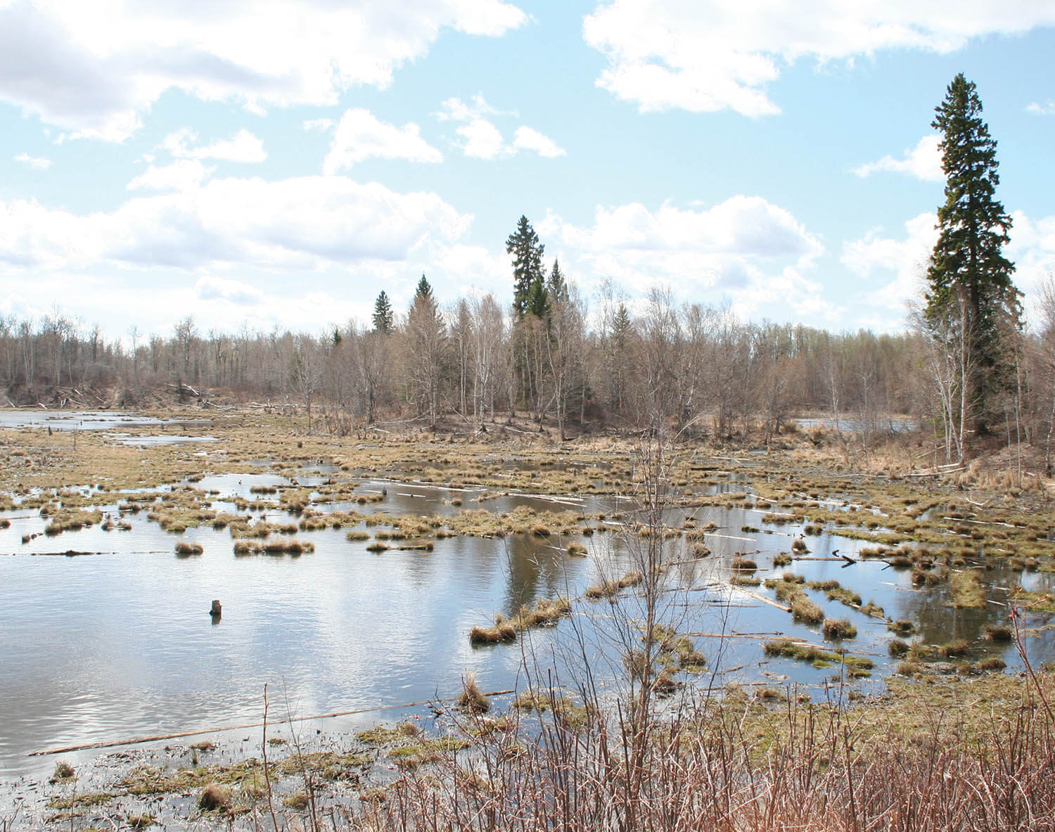
Also known as Wagner Bog, this special area on the north edge of Spruce Grove mixes several categories of forest with marl ponds and an unstable, constantly changing forest floor that is a giant purifier for the slow water that seeps through it on its journey to Big Lake. The Government of Alberta purchased it in 1971, and, together with the Nature Conservancy of Canada, it was expanded to create this stunning microcosm. It is maintained by Wagner Natural Area Society, which gathers donations and conducts spring and fall cleanups. It also creates a newsletter for supporters.
The non-stop metallic roar of the busy Yellowhead Highway fades completely as you explore deeper into this diverse growth. The 1.5-kilometre path leads through a constantly changing ecosystem. Early spring is when it is at its wettest, and the season brings vivid yellow marsh marigolds scattered amongst the tiny mossy pools around the base of trees everywhere you look.

There’s only one path through the bog, and visitors are asked not to step off that path — in June, the reasons for that become clear as Lady Slipper orchids suddenly appear along the side of the narrow trail. In fact, there are several species of orchid that can be found nowhere else in Alberta. In summer, bring your bug spray — it’s a marsh, and the mosquitos own this place. In autumn the oranges and golds of the tamarack trees compete with deep red shrubs on the dark green moss. The variety of plant life is spectacular and, in addition to the orchids, includes a few carnivorous plants.
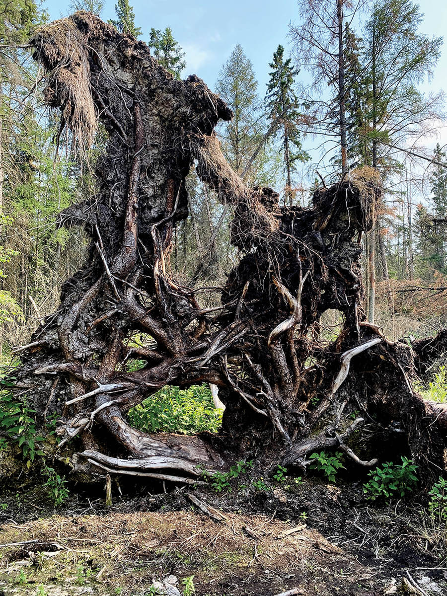
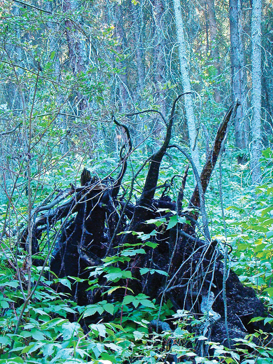
Presiding over it all are the remains of trees that have toppled, their huge roots systems reaching up through the space like silent monsters before they decay into the soggy moist moss forever.
I have visited this trail in many kinds of weather, in three seasons, and every season brings transformation. The rapid change is the only constant. The trail itself shifts as the ground does, twisting through several types of forest on its brief journey. Two boardwalks lift you over the marl ponds, yet the path soon plunges into soggy mossy forest floor. Landmarks topple and streams or puddles emerge, filling cavities created by root systems that now tower above you. When the frogs sing, it’s an auditory fiesta. In the autumn, the heady smells are intoxicating.

Cooking Lake Moraine — one of the oldest protected natural areas in Canada — was declared as one of 19 Canadian biospheres (one of two in Alberta) by UNESCO in 2016. It encompasses Elk Island National Park as well as the Cooking Lakes water system to the south. Called amiskwaciy (beaver hills) in Cree, it’s also one of several Alberta Dark Sky preserves. Small hills and small lakes pepper the classic knob-and-kettle topography formed by receding glaciers, creating a wildly diverse landscape that has been preserved by forward- thinking farmers who chose not to clear the land.
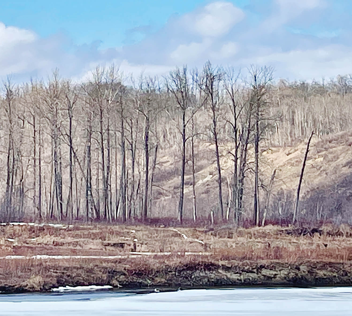
The well-groomed trail leads you through surprisingly rugged terrain, small sudden hills and varying ponds, dams and lakes, typical of glacier moraines, through dense aspen brush towards peaceful viewing points with benches overlooking the water. The hike is not flat, but is classified as easy. The short loop my friend and I chose was, even on a spring day with snow on the trail, a wonderful stroll — just challenging enough to get us breathing deeply in the clean air.
As we sat on the benches at the first viewing point — gazing at a snow-covered beaver pond — the sound of nature enveloped us: Far-off geese, birds, and the bright sun on this fresh spring day actually became hot. The Yellowhead Highway was only a few miles north of us but all we could hear was the quiet forest. The world stopped for a moment as we took in the calm, so essential and rare in these chaotic times.
A total of two kilometres of trails meander through the forest, past several ponds, with two viewing points and a boardwalk.
Heading back to the parking lot, the sun blazed through the bare trees, creating an artful grid of shadows and shapes. The unmistakable traces of large hoofed animals remind you that you’re sharing the trail. And this special place.
It’s not a true island, because it’s sometimes connected to land, but it’s surrounded by too much river to be a peninsula. The river doesn’t surround it completely, nor is the water on one side cut off from the river completely, which means it’s technically not an oxbow lake, but a meander, or as we called a similar stream back where I come from — on the same river — a backwater. But I digress into nature nerdness.
Big Island has a rich history as old as the river, and was a popular spot in Edmonton’s earliest days. And, in 2023, in a three-way deal between the Enoch First Nation, Edmonton, and the provincial government, it will become a new provincial park.
Nestled at the base of a high riverbank across from Winder-mere district, there is currently no access to Big Island except by water. (Accessing it from the west bank involves trespassing on what is currently private property.)

Once on Big Island, there are trails and a healthy sand- bar rivalling Accidental Beach, complete with tiny islands of its own, some with their own short trails. One side of the island faces the mighty river, looking across at The River Ridge Golf & Country Club. The backside faces a high steep riverbank and the slowly-filling-in oxbow lake, a gentle marshy crescent. The island contains both clearings and thickly wooded sections, marshes and ponds.
From Indigenous hunting grounds to early Edmonton steam- boat tourist attractions, Big Island has seen it all. It was a refuge for pre-contact hunting, providing shelter from harsh prairie winds, and easy river access from the large level floodplain.
In the 1880s, it hosted industry, using the river as a lumber highway. Many early Edmonton homes were built with wood from trees harvested on Big Island and floated downstream. It has hosted coal mining and gold mining operations on its banks.
In the early 1900s, multitudes of well-heeled Edmontonians in suits and under parasols arrived on weekend steamboat excursions full of music and laughter for all-day picnicking and exploring.
Today it is enjoyed by paddlers who can stop for a rest as they kayak or float from Devon to Edmonton, or by those with the temerity to find their way to its secret shore. But soon it will be a significant link in the lengthy river valley park system that makes Edmontonians so proud.
This article appears in the June 2022 issue of Edify


