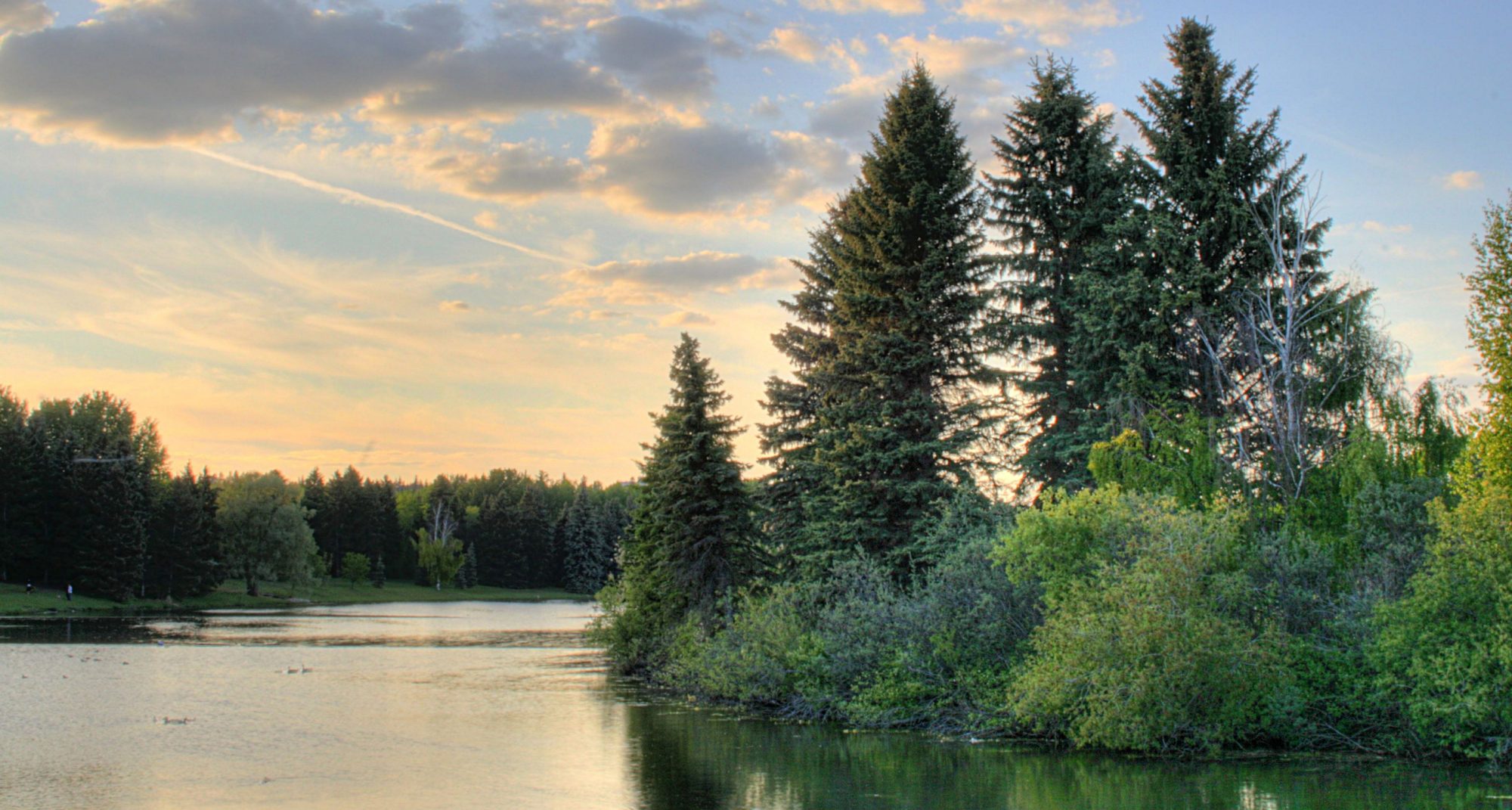
Nestled between the crook of the North Saskatchewan River and the University of Alberta’s North Campus, Hawrelak Park is one of the gems of Edmonton’s urban green space. It’s also a symbol of the city’s alternate reality.
Before Hawrelak Park was Hawrelak Park, it was an undeveloped plot of land on what was then the city’s south side. That was 1912, when Edmonton was a bustling western metropolis whose population had just doubled in less than a year. It was also decades before any oil booms or cup runs, and despite having been named the capital of Canada’s newest province just seven years prior, Edmonton was still searching for its identity.
Back then, the area where Hawrelak Park currently sits was slated to be developed into a 500-unit residential subdivision. It was a reasonable project considering the city’s growing population, but after the Strathcona Land Syndicate forfeited on its taxes in 1922, the land came under the ownership of the municipal government. The land remained unused for another 32 years, until a 1954 proposal by Mayor William Hawrelak suggested that the area be converted into a riverside park that “fit into the overall park development of the city along the lines of the zoo, and the golf courses and other picnic areas.” Construction began in 1959, and the park opened to the public as Mayfair Park in 1964. It was eventually renamed Hawrelak Park in 1984.
I may be banging the most well-worn of all the drums by saying this, but it’s hard to understate what a privilege Edmonton’s River Valley is. Among the major North American cities, Edmonton’s continuous urban parkland is on a very short list along with New York and a handful of other metropolitan areas — and we’re at the top of the list. That still might have been the case had the folks in the Strathcona Land Syndicate’s accounting department been a bit more watchful, but it probably would have been a bit more complicated with a suburb smack in the middle of the River Valley.
